
| Darin McQuoid | Blog | Reviews | Tutorials | River Directory |
Lower McCloud
III-IV (IV+)
24
Miles, One or two days.
Put-in: 2,450’ Take-out: 1,050’ For a total gradient of 1,400’according to Google Earth.
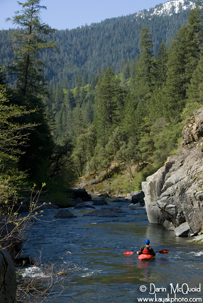
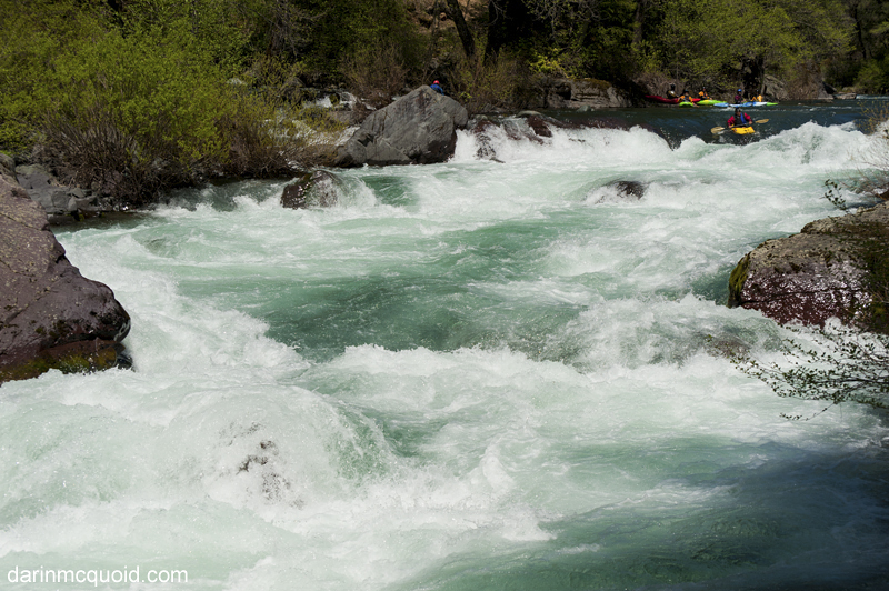
Yét Atwam Creek (formerly Squaw Valley Creek) is a major tributary of the McCloud River, and to our delight at the confluence the flow bumped up by a third. (At higher flows Yét Atwam can contribute half or more) The riverbed also starts to get occasional sections of bedrock, and a few beautiful mini gorges reminiscent of the South Fork Smith.
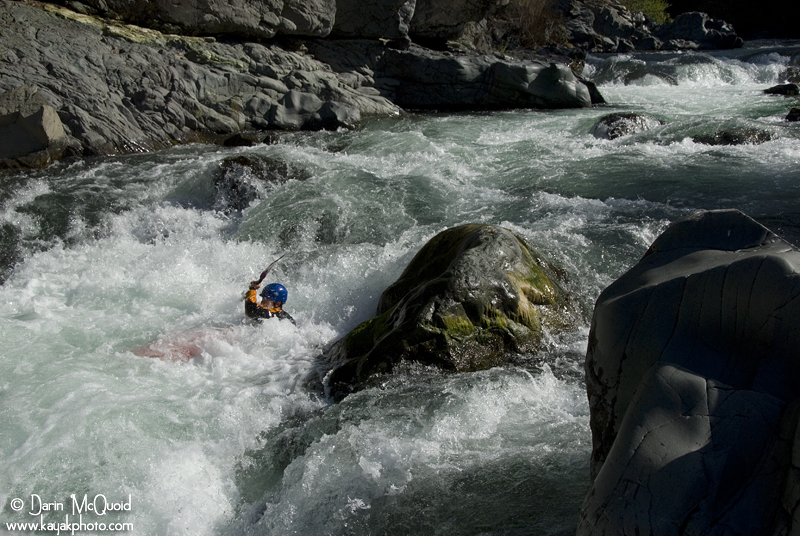
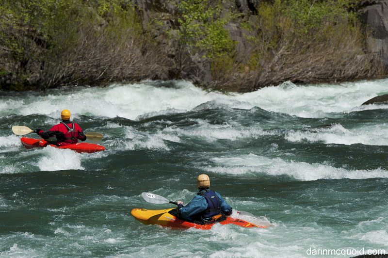
Scott Harding, note the change of water color due to collapsing glaciers on Mount Shasta as well as the burn scars. November 30th, 2022.
Put-in: 2,450’ Take-out: 1,050’ For a total gradient of 1,400’according to Google Earth.
McCloud
River scenery.
Flowing south from Mount Shasta, the McCloud River is
renowned
for both
scenery and fishing. With a natural base flow of over 700cfs, the
McCloud could be the only year round multi-day run in California. The upper
McCloud flows
for seven miles until it is impounded in the McCloud Reservoir, where
as much water as possible is moved into the Iron Canyon Reservoir,
which is
a forebay for the PG&E James B Black powerhouse on the Pit River, which went into service in 1965.
Because of this diversion, the lower McCloud rarely has enough water to kayak, even in the spring because PG&E likes to end the season with a low McCloud Reservoir. Curious of what the run contained, Dan Thurber, James Mitchell and myself decided to put in for two days on a “minimum” flow of 600cfs above Lake Shasta, with only a paltry 200cfs at the start.
To shorten the shuttle and keep things interesting, we hoped to put-in on Yét Atwam Creek (formerly Squaw Valley Creek), which through word of mouth was a good class IV run with two smaller waterfalls. Unfortunately the creek looked too low, and taking the second shortest shuttle option we went for the Ash Creek put in. Normally PG&E maintains the road to the McCloud Reservoir Dam, but not this year.
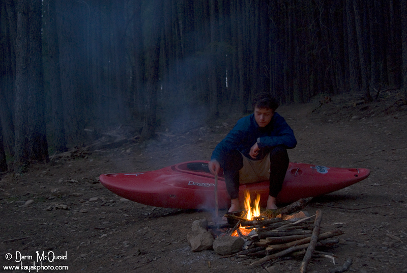
After
finishing work at a ski area I thought I was done shoveling snow for
the season….Dan
and James get started, April 17, 2008.

Prospects
of getting through the snow bank was looking bleak when we a
local fisherman drove up in a Jeep, and after little begging, agreed to
drive us to the put-in. Not wanting to waste his time, Dan and I got
dropped off directly below the dam. Feeling sick, James wisely opted
out of our adventure.
I
sure hope we have everything we need….
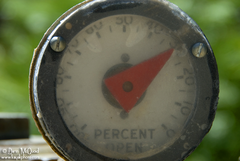
Our
initial flow was “30%”
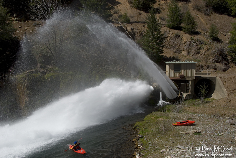
Already
getting into the afternoon, we set off with warm weather and
cold water. They sure do release the water in style.
Tom Janey on return trip April 27th, 2019, 1,100cfs below the dam.
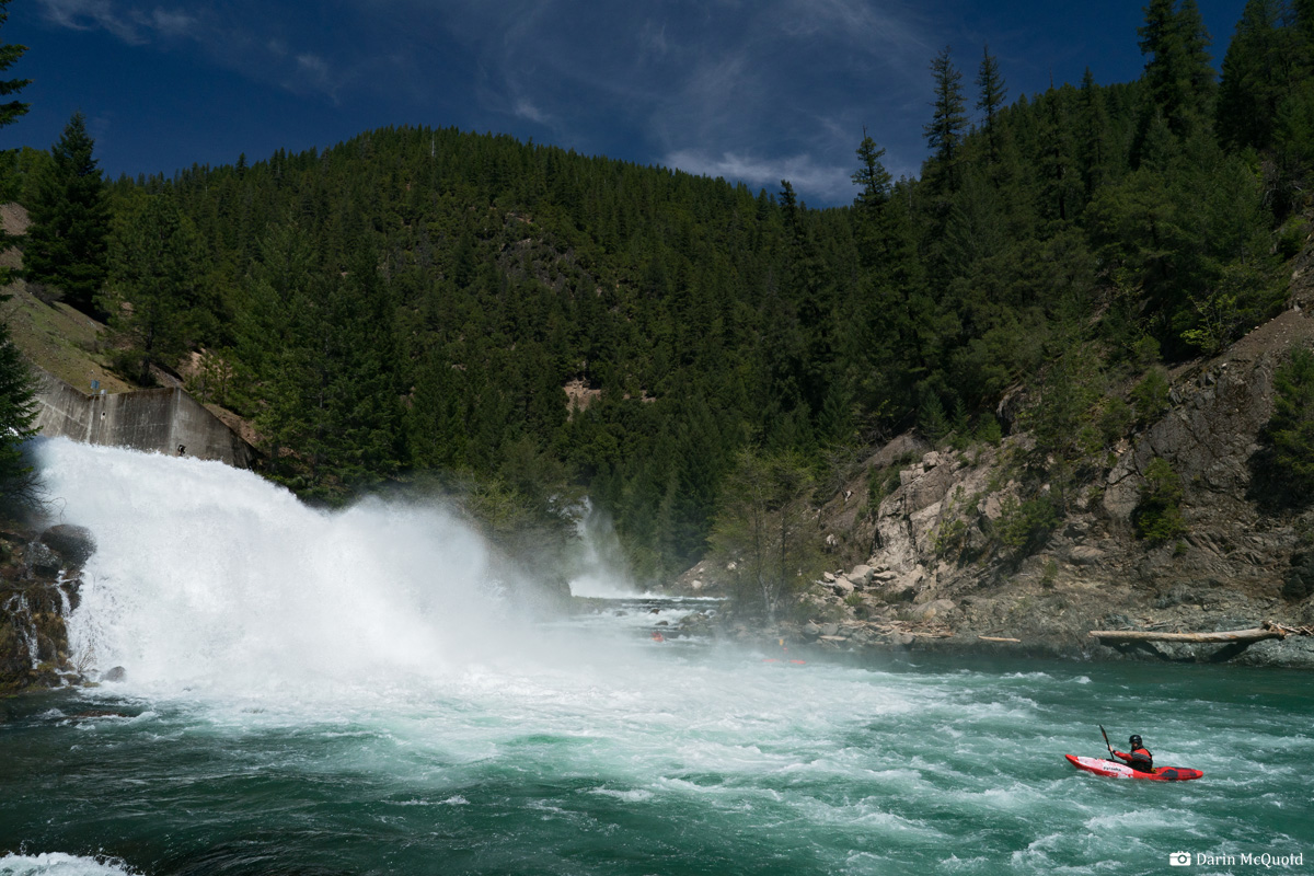
Tom Janey on return trip April 27th, 2019, 1,100cfs below the dam.
The
first thing we noticed outside of the scenery was low flows. Most
groups put-in lower down so tributaries raise the levels, but we
didn’t have that option. Thankfully the boulder gardens all
had routes, but we did do our fair share of gorilla boating. As
tributaries trickled in, the water level slowly came up, although it
was still low water at best.
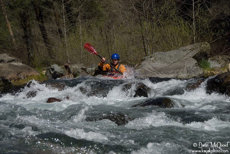
Dan
in a typical lower McCloud boulder bar drop, there are miles of
these.
Ash
Creek helped flows a bit more, but due to the nature of the river
it wasn’t what I would call quality.
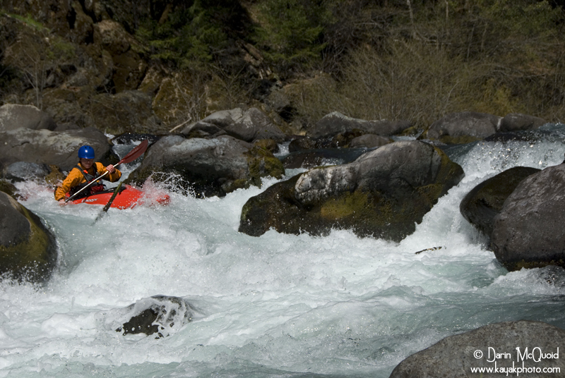
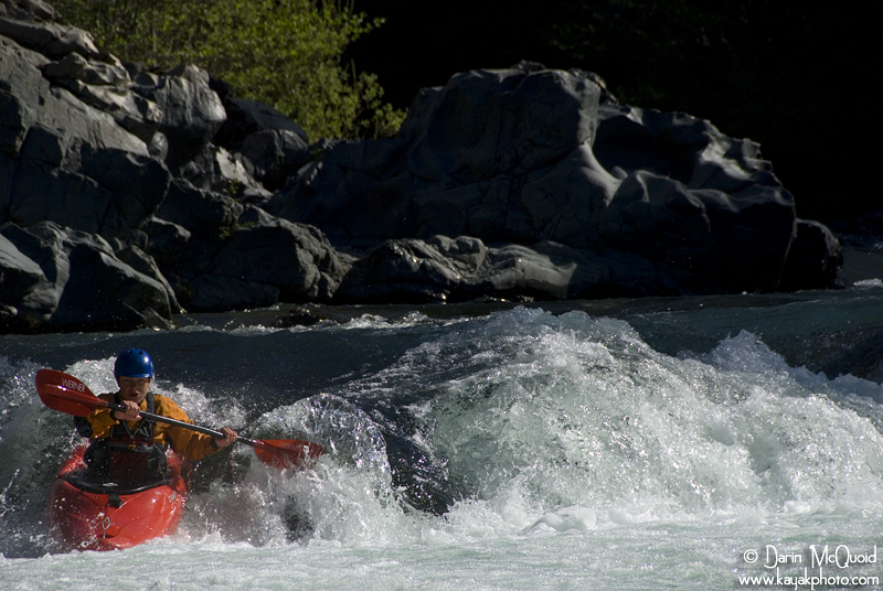
At high flows that's a whole different story. Eric Parker, April 27, 2015, ~1,500cfs into Shasta Reservoir.
Shannamar Dewey in the bottom half of the above pictured rapid.
At high flows that's a whole different story. Eric Parker, April 27, 2015, ~1,500cfs into Shasta Reservoir.
Shannamar Dewey in the bottom half of the above pictured rapid.
The boulder gardens would have been epic with flows of
800cfs,
but we
had far less then that, and it was not exactly rock dodging; it was rock bouncing. Eventually we worked out way past
Ah-di-na campground, an alternative put-in. The gradient mellowed out, and
character changed to class II-III for many miles. We hoped to push past the
confluence with Yét Atwam Creek (formerly Squaw Valley Creek)
the first day, but wanted to camp in
the last bit of sunlight too. There is one small patch of public land
in this section of the McCloud River, and thankfully it's pretty easy
to find; there is only one vehicle bridge over the Lower McCloud, and
the public land is about a hundred yards downstream, on river left,
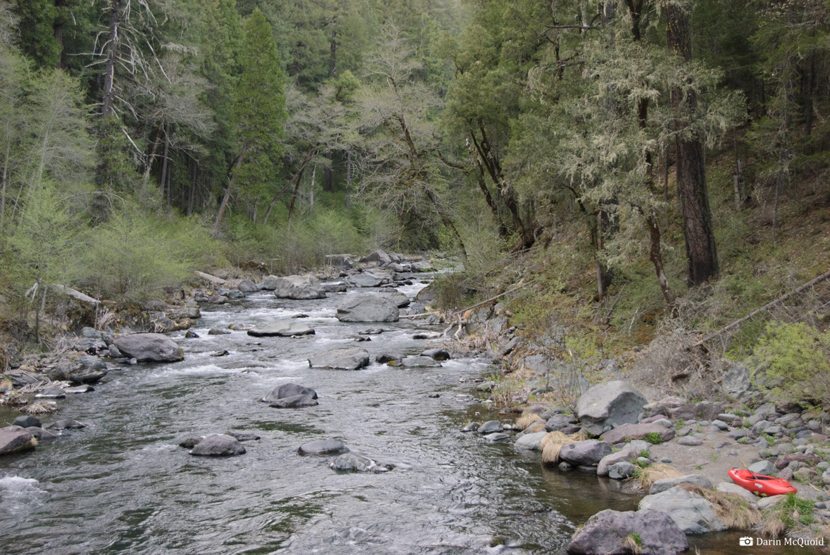
immediatley downstream of Claireborne Creek on the left.
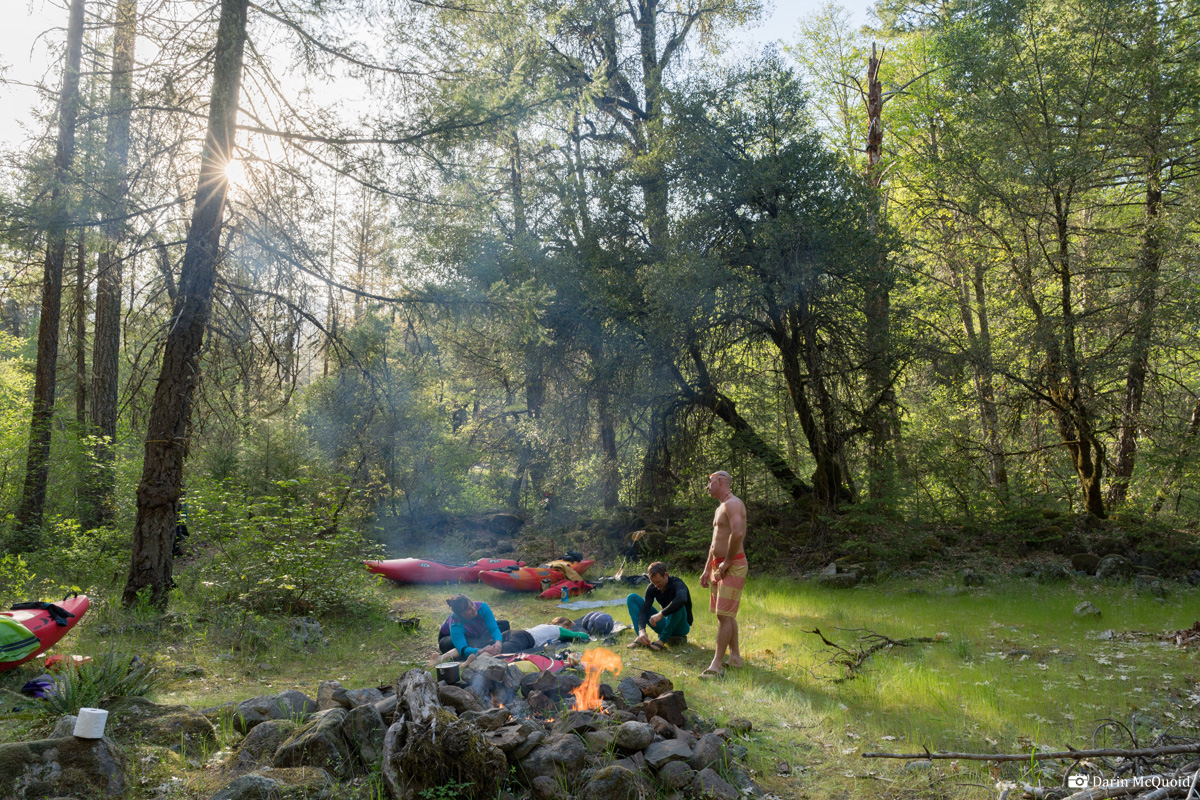
2019 Trip, public land with a nice bench for camping on.
Looking
upstream, the McCloud contains miles and miles of rapids like
this above the Yét Atwam Creek confluence.
Dan
gets into the zone.
Yét Atwam Creek (formerly Squaw Valley Creek) is a major tributary of the McCloud River, and to our delight at the confluence the flow bumped up by a third. (At higher flows Yét Atwam can contribute half or more) The riverbed also starts to get occasional sections of bedrock, and a few beautiful mini gorges reminiscent of the South Fork Smith.
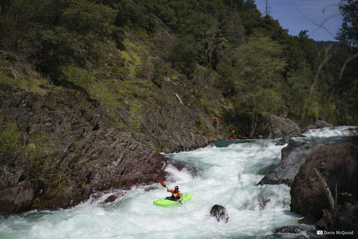
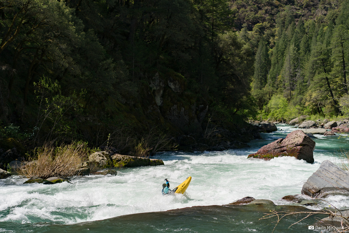
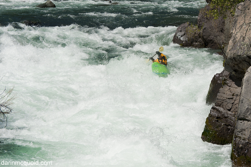
Dan
enjoys one of the better rapids on the lower McCloud.
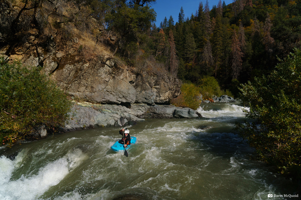
Nathan Oxford enjoys the same at a flow of ~680cfs below McCloud Reservoir on October 30th, 2022.
Nathan Oxford enjoys the same at a flow of ~680cfs below McCloud Reservoir on October 30th, 2022.
Scott Harding, note the change of water color due to collapsing glaciers on Mount Shasta as well as the burn scars. November 30th, 2022.
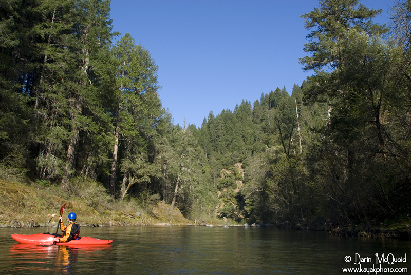
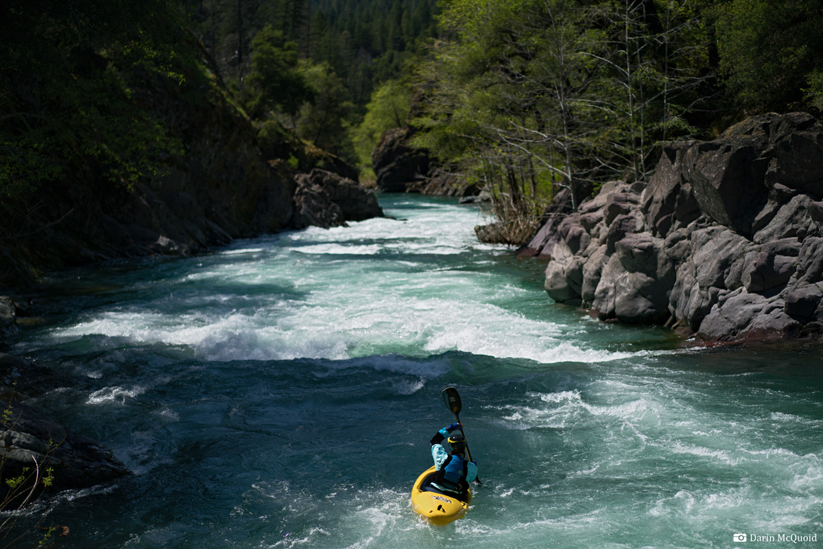
The
scenery on the lower McCloud is really what it’s all
about.
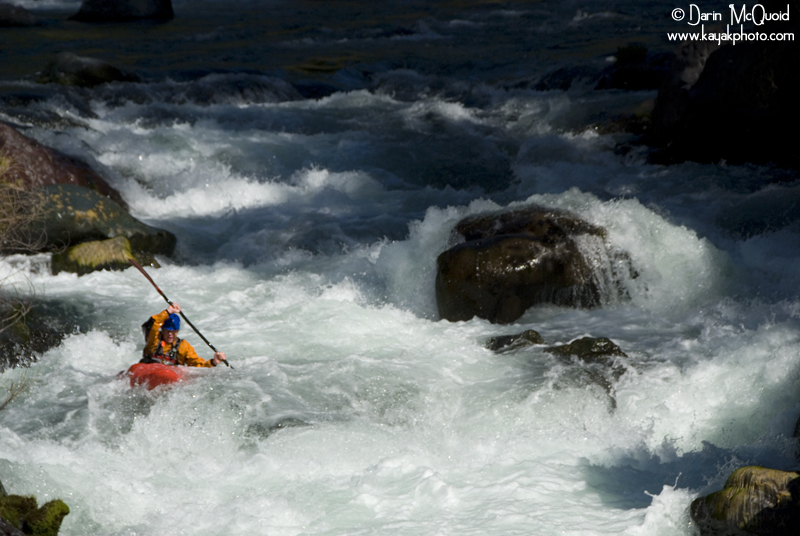
This is a typical rapid in the lower section of the McCloud.
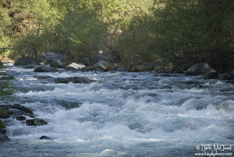
This is a typical rapid in the lower section of the McCloud.
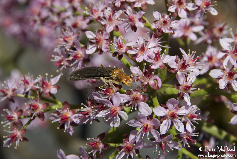
The
wildlife is abundant too, we saw eagles, osprey, and one bear
drinking out of the river. Out of three trips I have seen bear twice on
the McCloud.
Further
into the run, rapids space out a lot more with one larger IV+
thrown into the mix, well described in California
Creeks.
Eventually rapids peter out into the occasional class II with long sections of flat water between rapids.
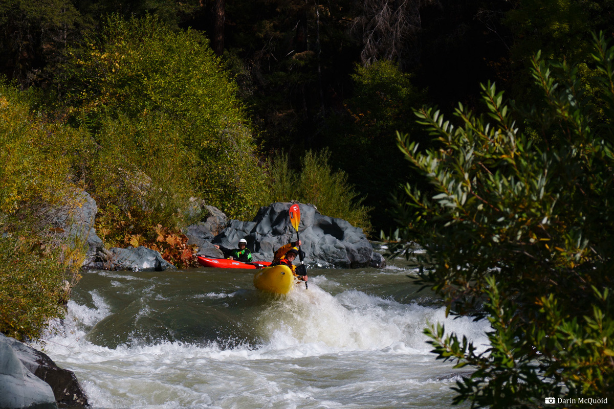
Shannamar Dewey in Tuna Creek "Falls", April 2015, ~1,500cfs.
Tuna Creek "Falls" in the spring with flows around 1,200.
Tuna Creek "Falls" in the spring with flows around 1,200.
Eventually rapids peter out into the occasional class II with long sections of flat water between rapids.
Dan Thurber
having fun on one of the last good rapids, the Regean Years ~600cfs inflow to Shasta Lake.
Jerimy McNeely runs the same with a lot more water after a Yét Atwam trip.
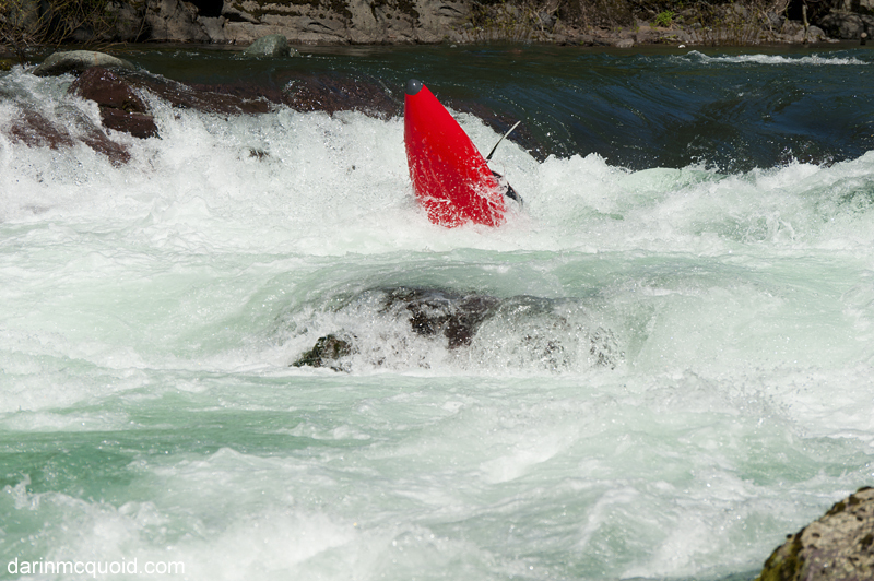
Jim Pepin comes through a big hole.
Typical read and run...
Jerimy McNeely runs the same with a lot more water after a Yét Atwam trip.
Jim Pepin comes through a big hole.
Typical read and run...
The
McCloud is a fantastic run with flows around 1,500cfs,
but at
200 below McCloud Reservoir and 600
into Shasta Reservoir we were disappointed with the run. We hit rocks
in every rapid
minus two or three of the better ones. Without the diversion, the
McCloud would be the perfect late summer two day event, but as it is,
water comes into the run too late to justify slogging down to the
Yét Atwam Creek confluence. At high flows, at least 600 below
McCloud Reservoir it's a good run, and if tributaries are adding
additional flow for 1,000+ by Shasta Lake, it's an absolute classic..
For class III-IV boaters looking for an overnight to
get started on, I’d recommend this run if flows are above 600cfs
at put in. California
Creeks does
a great job describing the long shuttle too.
Other relevant links:
American Whitewater
A Wet State
Other relevant links:
American Whitewater
A Wet State
HTML
Comment Box is loading comments...